


The 8th International Conference on Geoscience and Remote Sensing Mapping (GRSM 2026) Successfully Concluded in Kunming!

Group Photo
On October 17, 2026, the 8th International Conference on Geoscience and Remote Sensing Mapping (GRSM 2026) grandly opened in Kunming, Yunnan Province. The conference was guided by the Hongyi Honors College of Wuhan University, hosted by the School of Earth Sciences of Yunnan University, and co-organized by the Faculty of Land and Resources Engineering of Kunming University of Science and Technology, the Department of Geography of Yunnan Normal University, the Library of Southwest Forestry University, and the Institute of International Rivers and Eco-security of Yunnan University. The conference attracted approximately 400 experts, scholars, engineering technicians, and young researchers from universities, research institutes, and industry, who gathered in Kunming to discuss the latest theories, technological breakthroughs, and application prospects in the fields of geoscience and remote sensing mapping.
The opening ceremony was presided over by Prof. ZhiqiangXie of Yunnan University, and Prof. JishengXia, Secretary of the Party Committee of the School of Earth Sciences of Yunnan University, delivered a welcome speech. Secretary Xia Jisheng pointed out that Yunnan University, founded in 1922, is a national "Double First-Class" university and a key university under the "211 Project". Relying on Yunnan's unique geological, geographical, and climatic resources, the School of Earth Sciences has long been engaged in research on plateau landforms and geological processes, plateau lakes and environmental evolution, mountain hazards and disaster prevention and mitigation, and resource and environmental remote sensing and geographic information, forming distinctive regional characteristics and disciplinary advantages. At present, the deep integration of satellite remote sensing, artificial intelligence, big data, and geographic information technology is reshaping the way we understand the Earth system, making it urgent for domestic and international peers to strengthen exchanges and deepen cooperation. He hoped that the participating experts and scholars would fully exchange ideas and share the latest achievements, and jointly promote the continuous development of geoscience and remote sensing mapping.

Welcome speech by Prof. Jisheng Xia
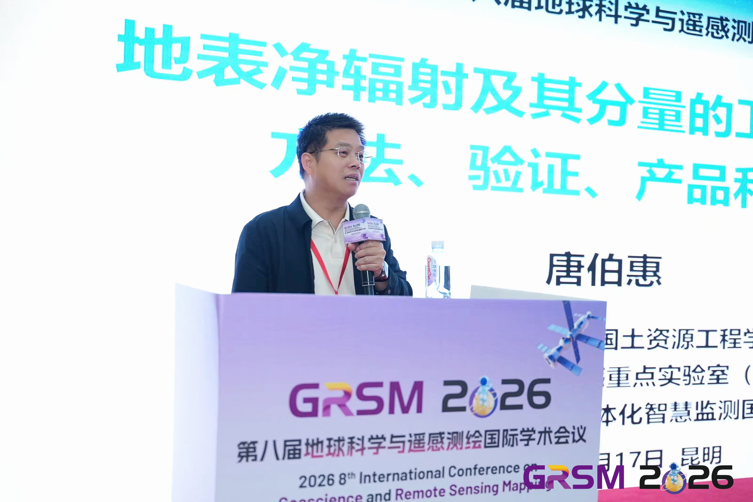
During the keynote report session, presided over by Prof. Zhiqiang Xie and Assoc. Prof. RuiLiu of Yunnan University, Prof. Bohui Tang of Kunming University of Science and Technology, Prof. NaixiaMou of Shandong University of Science and Technology, Prof. Luliang Tang of Wuhan University, and Prof. Leiguang Wang of Southwest Forestry University were invited to give keynote reports. They shared and discussed in depth frontier directions such as quantitative remote sensing inversion of surface water and heat parameters, social remote sensing and crowd mobility behavior analysis, low-altitude route maps and the low-altitude economy, and intelligent interpretation of remote sensing images.
 |  |
 |  |
Keynote Speeches
In addition to the four keynote reports, the conference also featured oral presentation sessions and poster displays. The oral presentation sessions were presided over by Assoc. Prof. FeiZhao and Assoc. Prof. QiChen of Yunnan University. Thirty-five scholars from Tongji University, Beijing University of Posts and Telecommunications, Nanjing Tech University, China University of Petroleum (East China), Chang'an University, Southwest Jiaotong University, Yunnan University, China University of Geosciences (Wuhan), Northwest Normal University, National University of Defense Technology, and other universities and research institutions gave excellent reports and poster presentations on frontier topics such as intelligent remote sensing interpretation, GNSS-R sea surface monitoring, land use classification, ecological environment assessment, and geological disaster early warning. The on-site exchanges were lively and the academic atmosphere was strong.
An award selection activity was also held during the conference. After rigorous review by experts of the organizing committee, several Best Paper Awards, Best Poster Awards, and Outstanding Presentation Awards were selected to recognize young scholars who performed outstandingly in the fields of geoscience and remote sensing mapping. The presentation of these awards not only affirms the academic achievements of the winners but also inspires and encourages the innovative spirit of all participating scholars.
 | 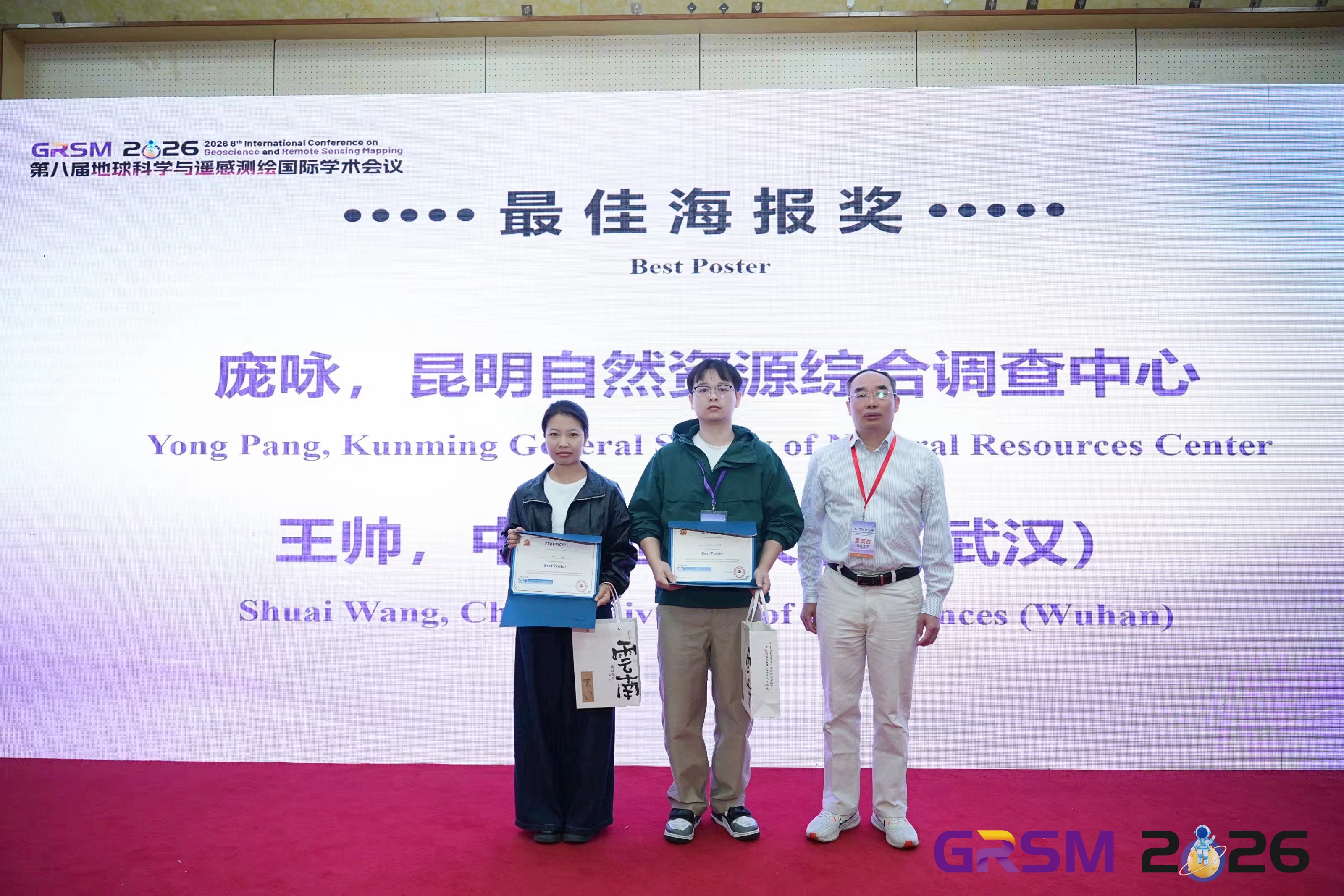 |  |
Award ceremony
The successful conclusion of GRSM 2026 not only showcased the latest domestic and international achievements in geoscience and remote sensing mapping but also built an exchange platform for promoting the deep integration of academic research, technological application, and talent cultivation. We thank all participating organizations, experts, scholars, and staff for their support, and look forward to meeting again next year!